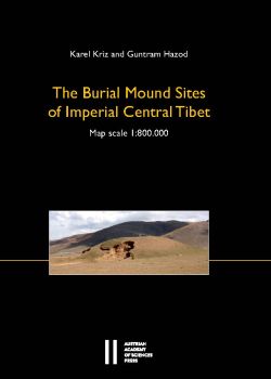


Diese von Karel Kriz und Guntram Hazod erstellte Karte ist aus einer Zusammenarbeit zwischen dem Institut für Sozialanthropologie (ISA) der Österreichischen Akademie der Wissenschaften und dem Institut für Geographie und Regionalforschung der Universität Wien entstanden. Sie dokumentiert die Position der über 600 Hügelgräberfelder von Zentraltibet, die das am ISA angesiedelte Projekt "The Burial Mounds of Central Tibet" bisher registrieren konnte. Diese Orte, die historisch der Zeit des Tibetischen Reiches (7.–9. Jh. u. Z.) zuzuordnen sind, verweisen im geographisch relativ kleinen Gebiet von Zentraltibet, der Kernregion des tibetischen Reiches, auf eine Tumulus-Landschaft von enormer Dichte. Das Beiheft zur Karte erläutert die Grundthematik der tibetischen Tumulus-Geschichte und beinhaltet eine Auflistung der Gräberorte und ihrer prinzipiellen Klassifizierungen.
Veröffentlicht mit Unterstützung des Austrian Science Fund (FWF)

…
This map created by Karel Kriz and Guntram Hazod is the result of a cooperation between the Institute for Social Anthropology (ISA) of the Austrian Academy of Sciences and the Department of Geography and Regional Research of the University of Vienna. It illustrates the position of the more than 600 burial mound fields of the Central Tibetan region that have been registered so far by the project “The Burial Mounds of Central Tibet” at ISA. The entries, historically related to the time of the Tibetan Empire (7th–9th century CE), reveal a tumulus landscape of enormous concentration in the relatively small geographic area of Central Tibet – the heartland of the Tibetan Empire. The supplement gives insight in the general topic of the burial mound history and includes a listing of the sites and their principal classifications.
2020,
978-3-7001-8561-1
978-3-7001-8844-5
Faltplan 1:800000 mit 43 seitigem Supplement,
29,7x22cm, broschiert