 |
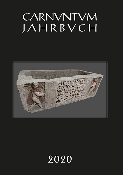
Carnuntum Jahrbuch 2020Zeitschrift für Archäologie und Kulturgeschichte des Donauraumes
|
 |
Verlag der Österreichischen Akademie der Wissenschaften Austrian Academy of Sciences Press
A-1011 Wien, Dr. Ignaz Seipel-Platz 2
Tel. +43-1-515 81/DW 3420, Fax +43-1-515 81/DW 3400 https://verlag.oeaw.ac.at, e-mail: verlag@oeaw.ac.at |
|
||||||||||||||||||||
|
DATUM, UNTERSCHRIFT / DATE, SIGNATURE
BANK AUSTRIA CREDITANSTALT, WIEN (IBAN AT04 1100 0006 2280 0100, BIC BKAUATWW), DEUTSCHE BANK MÜNCHEN (IBAN DE16 7007 0024 0238 8270 00, BIC DEUTDEDBMUC)
|
