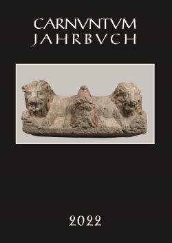
Carnuntum Jahrbuch 2022, pp. 55-100, 2023/12/14
Zeitschrift für Archäologie und Kulturgeschichte des Donauraumes
In 1976, an emergency excavation was carried out in Petronell-Carnuntum on the occasion of the digging of a water pipe trench, which extended over a length of 1,100 m across the Roman town of Carnuntum and into the peripheral areas of the western suburb. In addition to the finds from these excavations outside the city wall presented in recent years, this article discusses the finds, especially the range of pottery, from the city itself. According to this, settlement activity in the central areas to the east and south-east of the forum can be traced from the Flavian period to the time around AD 400. The ground-penetrating radar measurements in the Roman colony make it possible to integrate the already published results of the 1976 excavations into the inner-city topography. The combined evaluation of the excavation and prospection results also makes it possible to supplement the forum ground plan of the Roman city.