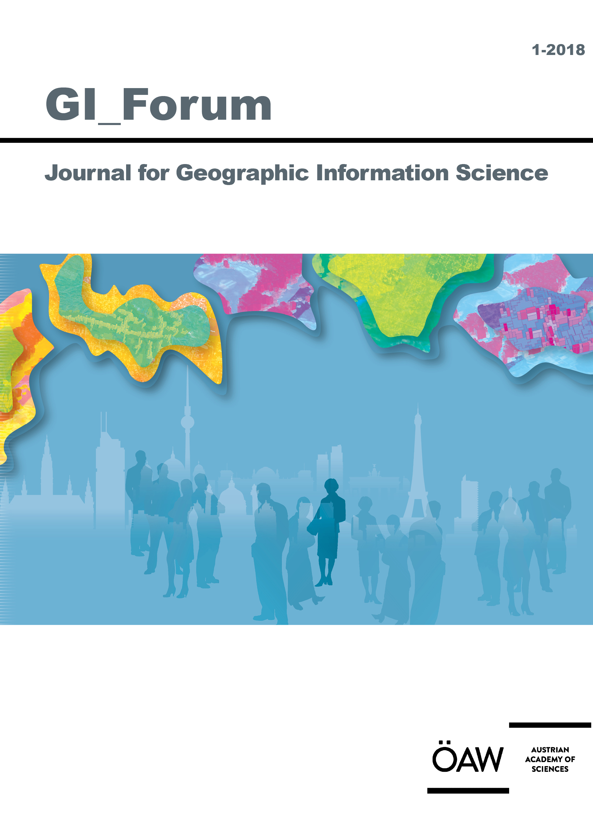
GI_Forum publishes high quality original research across the transdisciplinary field of Geographic Information Science (GIScience). The journal provides a platform for dialogue among GI-Scientists and educators, technologists and critical thinkers in an ongoing effort to advance the field and ultimately contribute to the creation of an informed GISociety. Submissions concentrate on innovation in education, science, methodology and technologies in the spatial domain and their role towards a more just, ethical and sustainable science and society. GI_Forum implements the policy of open access publication after a double-blind peer review process through a highly international team of seasoned scientists for quality assurance. Special emphasis is put on actively supporting young scientists through formative reviews of their submissions. Only English language contributions are published.
Starting 2016, GI_Forum publishes two issues a Year.
Joumal Information is available at: GI-Forum
GI_Forum is listed on the Directory of Open Access Journals (DOAJ)
|
GI_Forum 2018, Volume 6, Issue 1
ISSN 2308-1708
Online Edition
ISBN 978-3-7001-8359-4
Online Edition

|
Send or fax to your local bookseller or to:
Verlag der Österreichischen Akademie der Wissenschaften
Austrian Academy of Sciences Press
A-1011 Wien, Dr. Ignaz Seipel-Platz 2,
Tel. +43-1-515 81/DW 3420, Fax +43-1-515 81/DW 3400
https://verlag.oeaw.ac.at, e-mail: bestellung.verlag@oeaw.ac.at
UID-Nr.: ATU 16251605, FN 71839x Handelsgericht Wien, DVR: 0096385
Bitte senden Sie mir
Please send me |
|
Exemplar(e) der genannten Publikation
copy(ies) of the publication overleaf |
NAME
|
ADRESSE / ADDRESS
|
ORT / CITY
|
LAND / COUNTRY
ZAHLUNGSMETHODE / METHOD OF PAYMENT
Visa Euro / Master American Express
|
NUMMER
|
Ablaufdatum / Expiry date:
I will send a cheque
Vorausrechnung / Send me a proforma invoice
|
|

